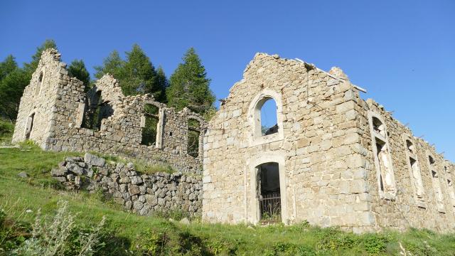


After the county of Nice joined France in 1860, Authion became a strategic area monitoring the new Franco-Italian border. Relationships between France and Italy deteriorated in the late 19th century and the French military authorities decided the mountain range required fortifications. The Forca, Mille Fourches and Redoute des Trois Communes forts were built between 1883 and 1890. The system was designed by General Séré de Rivières, nicknamed the 19th cenutry Vauban, and joined by the Cabanes Vieilles camp to house Alpine hunters.
After Mussolini came to power, the War Minister André Maginot launched a programme to update the border’s fortifications (1930) e.g. in Plan Caval. The Authion fortifications stopped the Italian offensive in 1940. Following the D-Day Landings on the Mediterranean coast in August 1944, the German troops retreated and captured the Authion mountain range. Authion was in Allied hands on April 12th 1945. What a sight it must have been to see a tank driven by navy riflemen capturing a fort at an altitude of 2000m!
The Redoute des Trois Communes has become a historical landmark. A visitor trail introducing you to countless forts and historical monuments is ideal for hiking (approx. 2 hr 20) pr driving.
For safety reasons, no trespassing is allowed on the fort.
You can do a mountain bike loop from Col de Turini too. (15km distance, 500m elevation, 2.5 hr duration).


