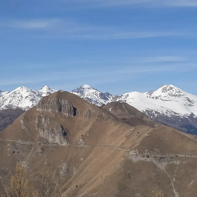
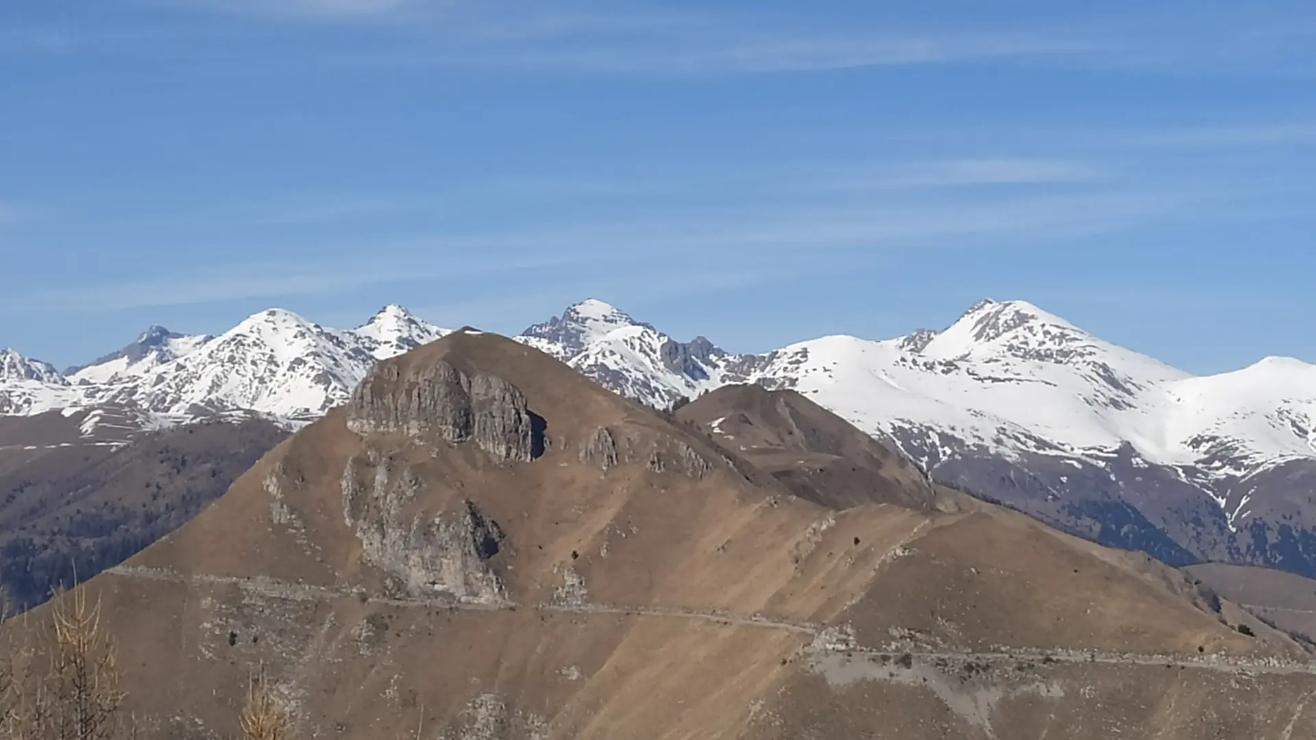
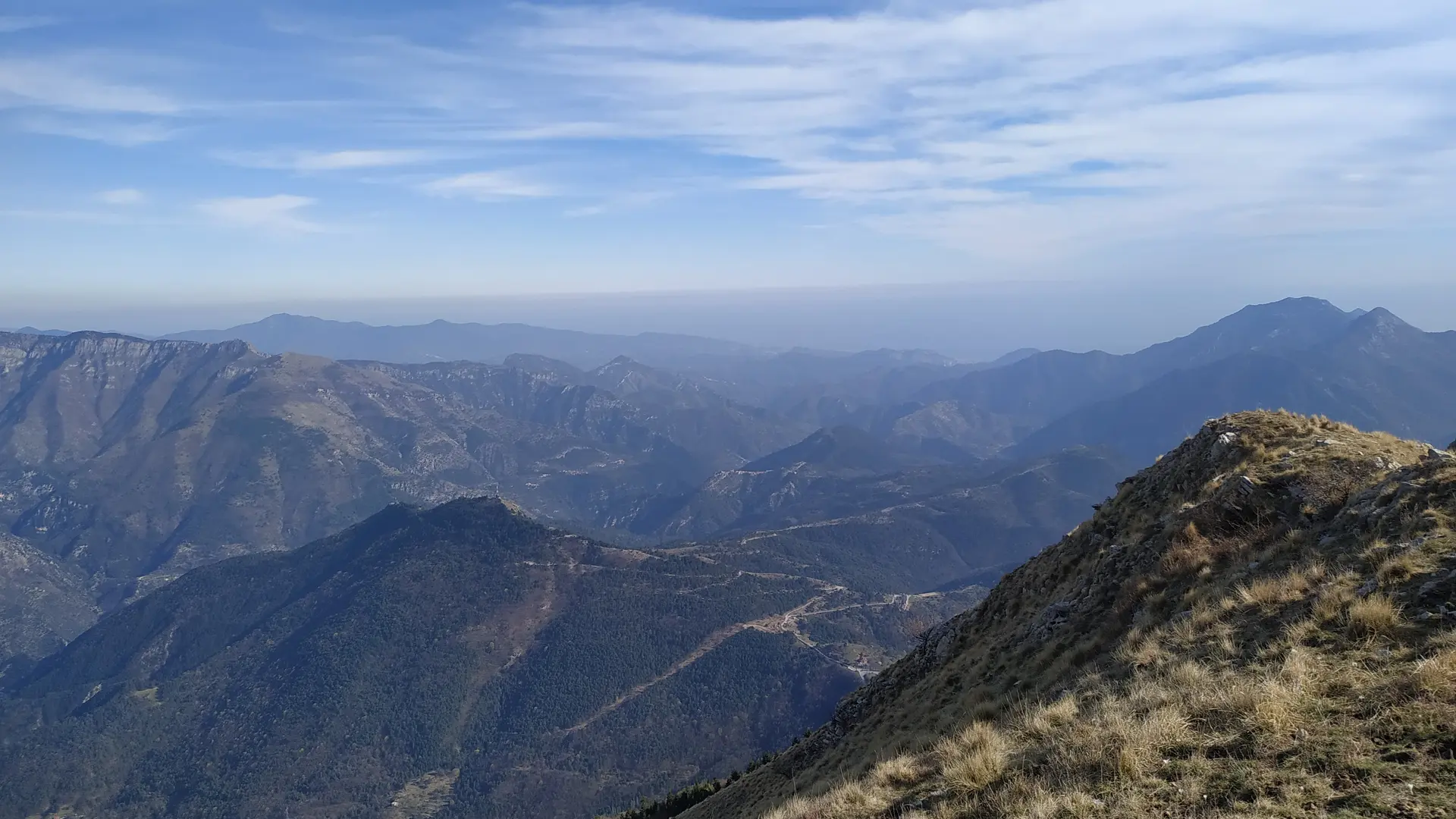
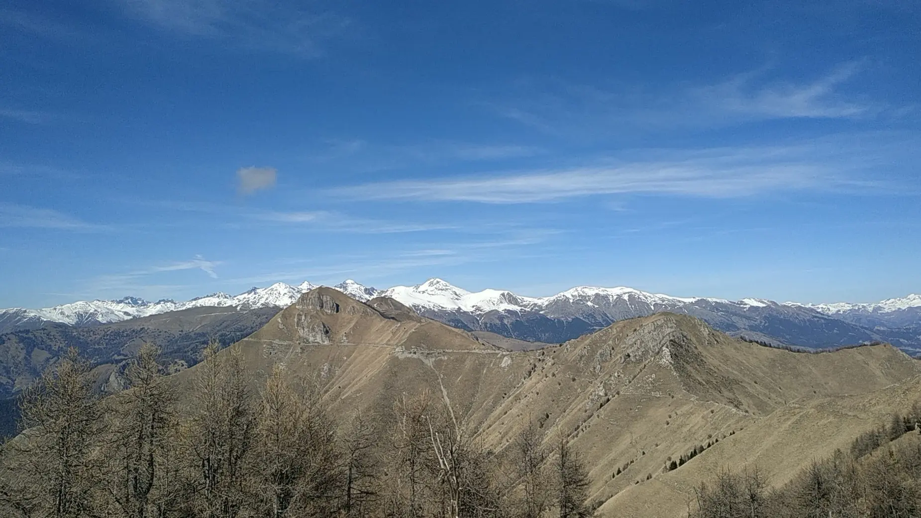
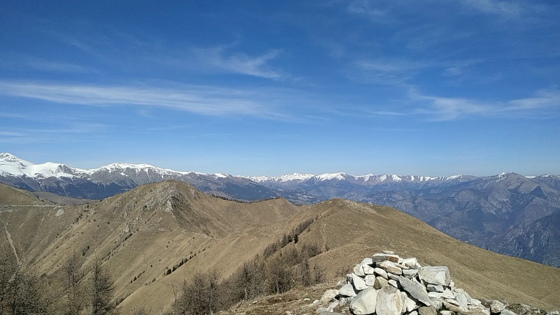
A sporty hike in the heart of the Mercantour Park, the summit of Mangiabo offers a splendid 360° panorama over the high peaks of the Eastern Mercantour, the border summits, and the sea from San Remo to the Cap d'Antibes and the Estérel massif to the southwest.
The itinerary is entirely in the heart of the Mercantour park, and is subject to its regulations.
1) Coming from Breil, take the 1st track on the right, just after the Brouis pass (879 m), ball. 124. Continue straight on, and park at the level of the old barracks and blockhouses.
2) Bal. 125, start the ascent to the Baisse de Levens (1093 m),
bal. 139.
3) Turn right at the drop, the route follows the rising ridge line.
4) In large, steeply sloping pastures, the path bends to the right, and crosses crosses the slope to reach the next ridge line. Then, with Then, with a few big laces, join the ridge at marker 144 (1777 m).
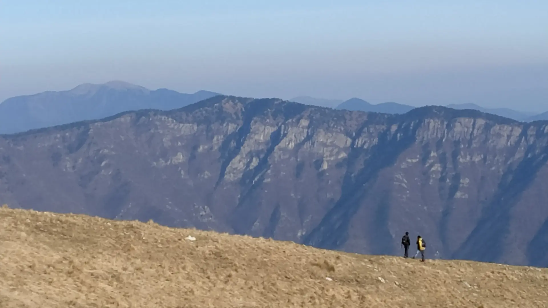
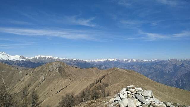
5) Another 5 minutes on the ridge to reach the summit (1821 m), marked by a large cairn.
6) Return by the same route.
NB: it is possible to reach the summit of Mangiabo from Sospel by the GR 52, and from Moulinet.