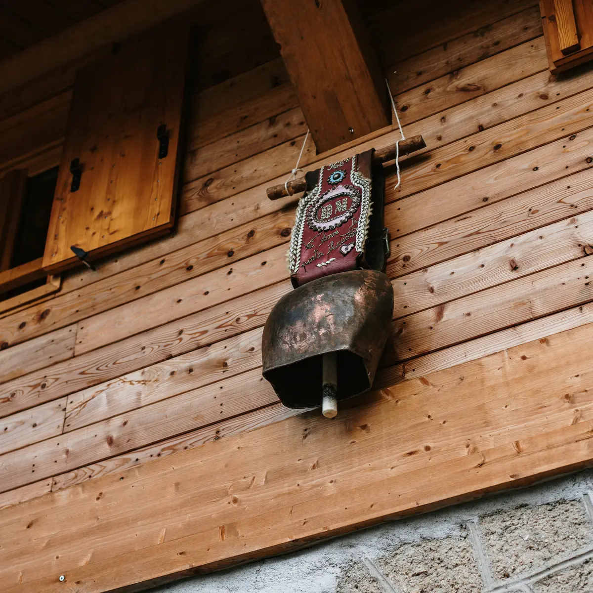
Alpine loop between lakes, rock engravings and wild panoramas. From Castérino, explore the Valmasque and Fontanalbe valleys in the heart of the Mercantour National Park.
From the hamlet of Castérino, follow the road for about 2.5 km towards the Valmasque valley. The hike starts at the Mercantour National Park entrance signs (marker 394).
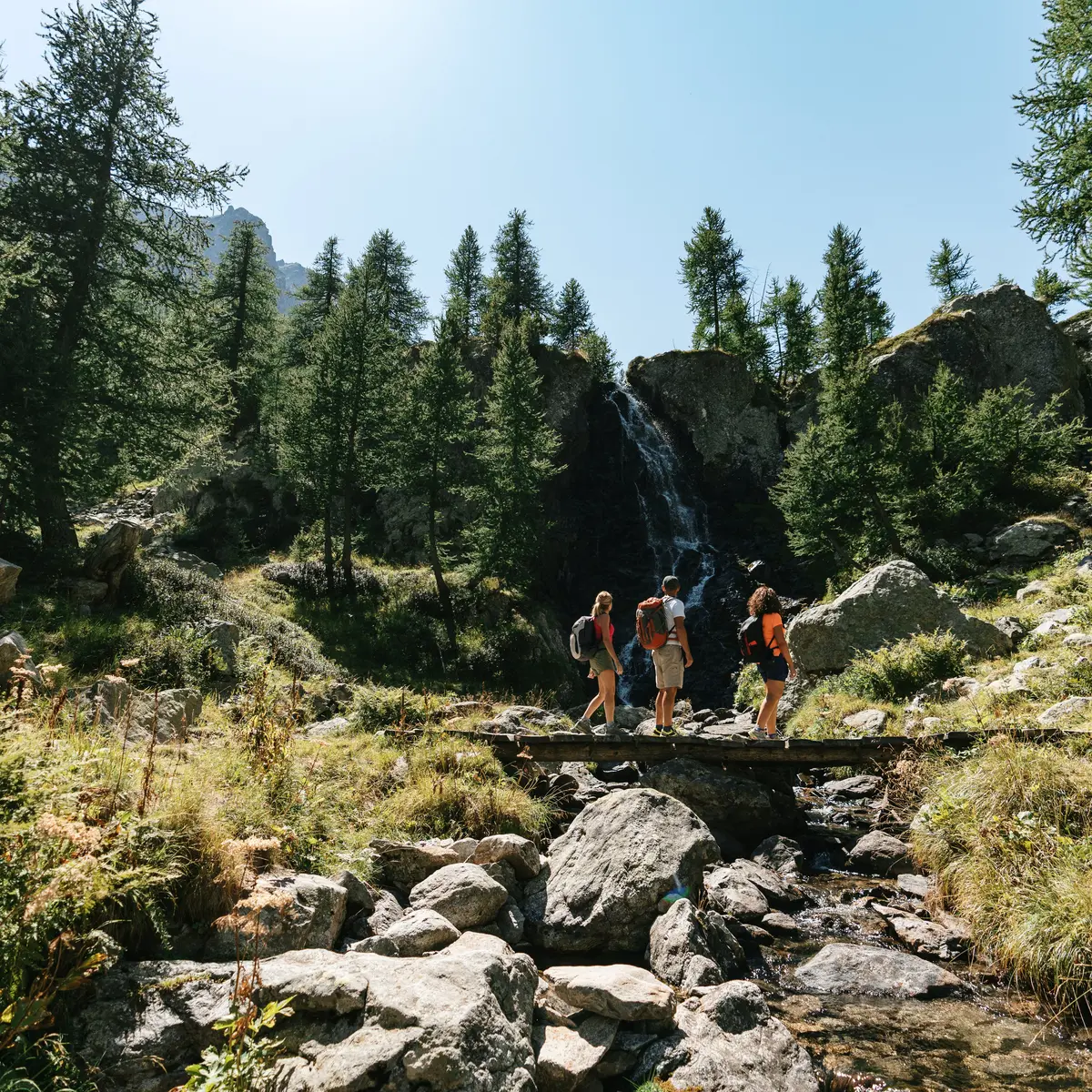
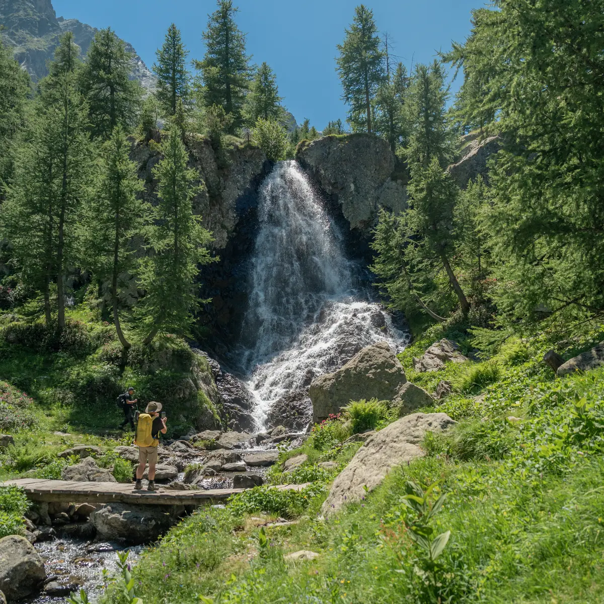
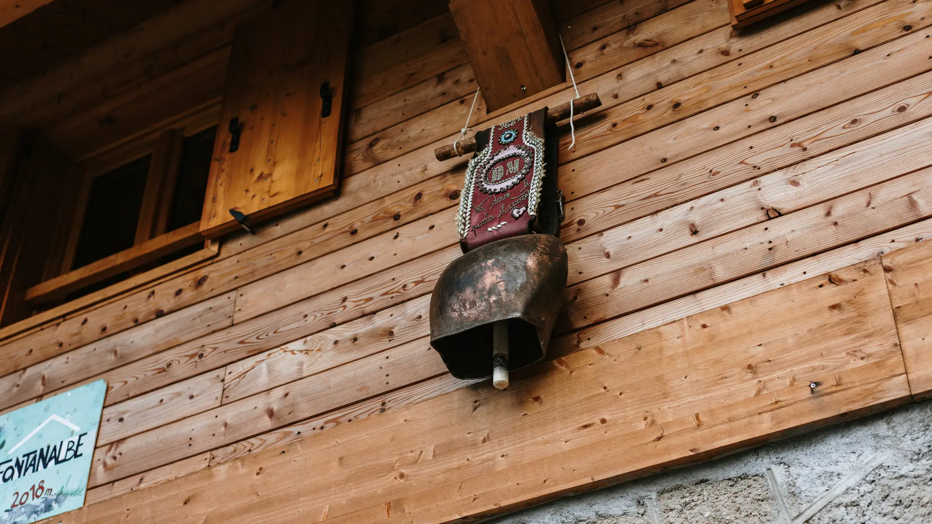
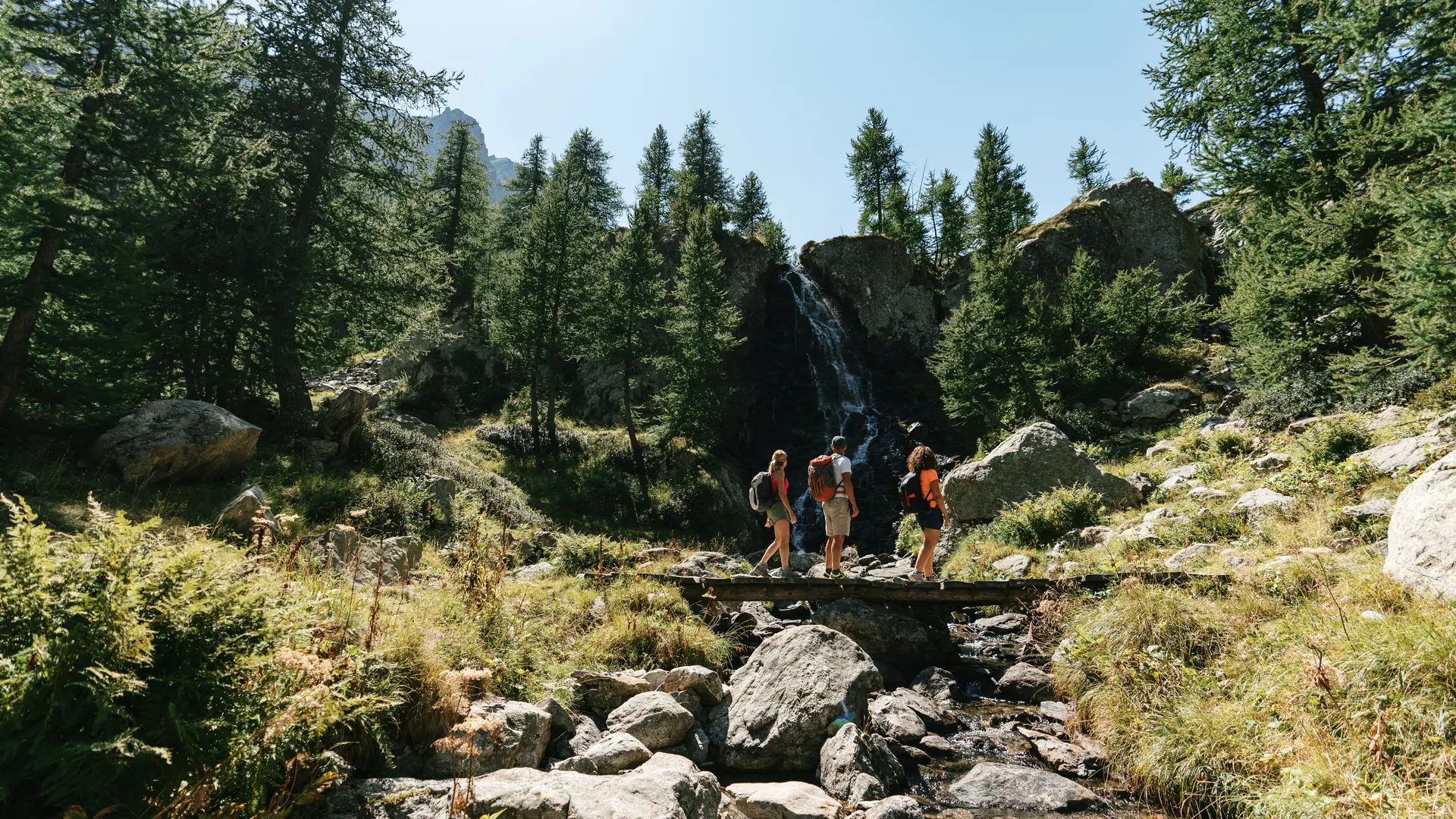
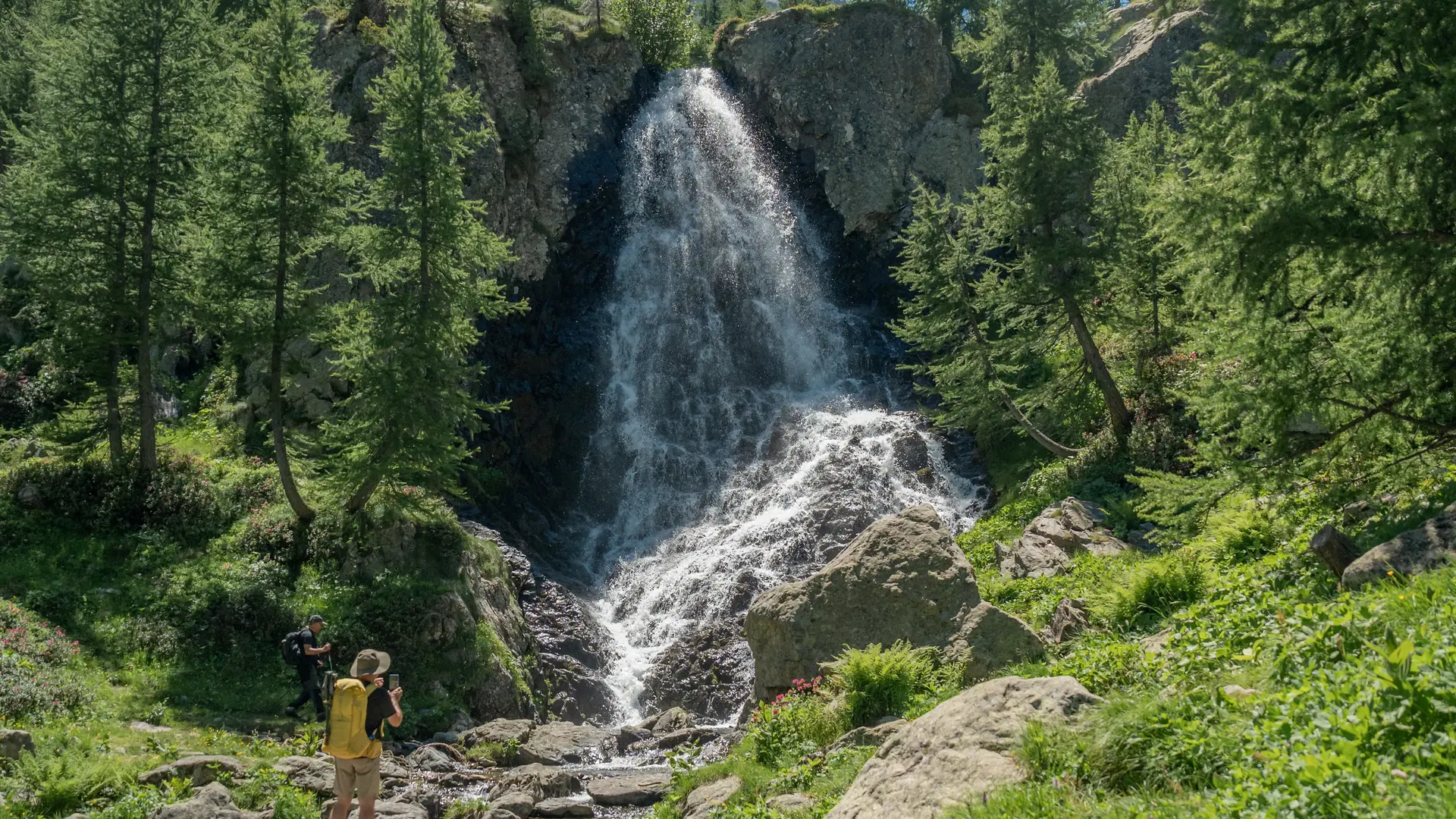
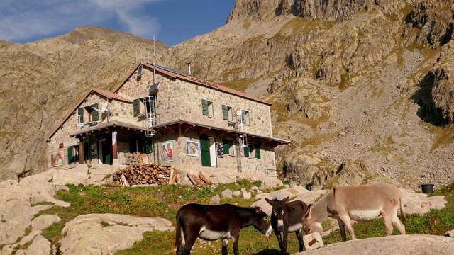
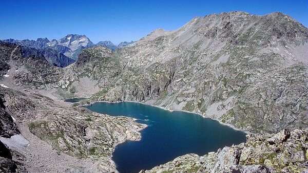
Follow the signposted route to the Valmasque refuge, skirting the banks of the torrent. From the refuge, head due south up the valley, skirting the three high-altitude lakes in turn.
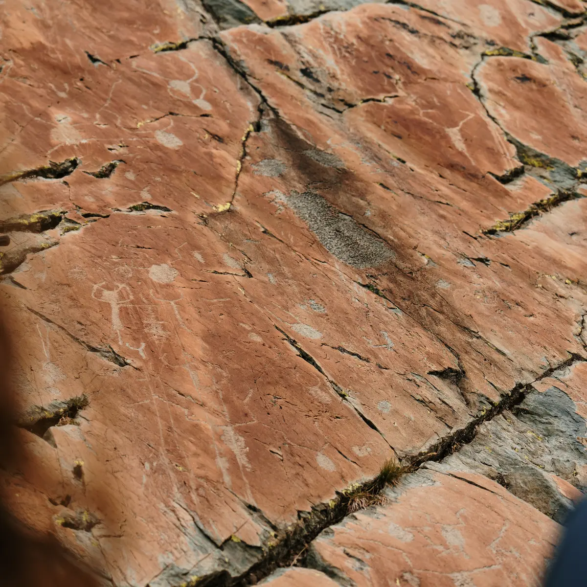
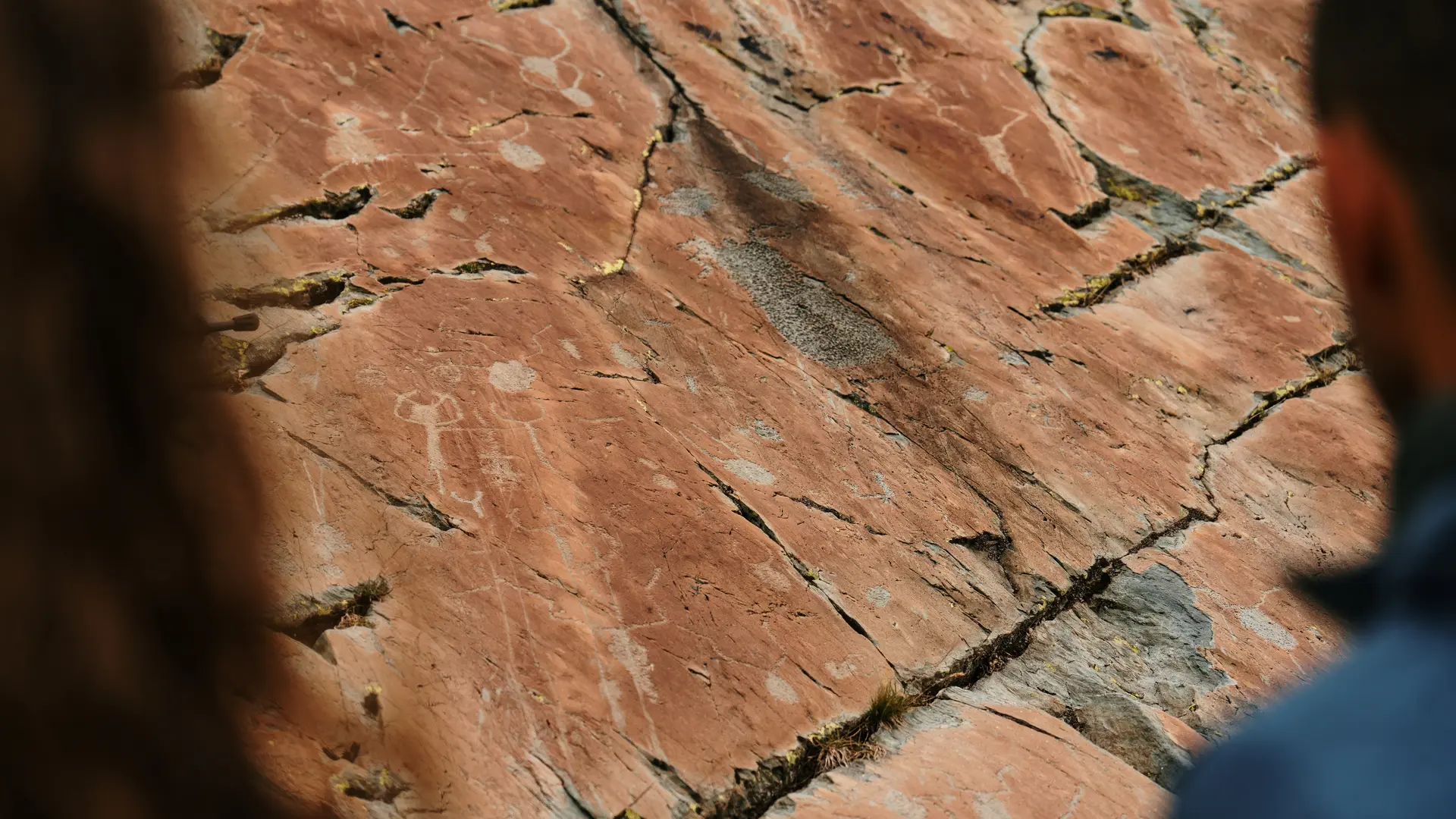
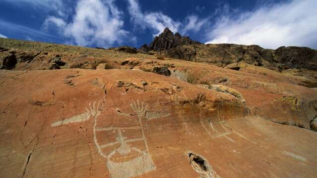
At marker 96, turn east towards the Fontanalba drop. From marker 397 onwards, you enter the protected archaeological area: it is imperative to stay on the marked path or to be accompanied by an authorized guide in order to leave it.
Then follow the rock engraving interpretation trail, passing in particular the sacred way, before gradually descending towards the refuge.
Continue along the path until you reach marker 290, where you turn off in the direction of Castérino.