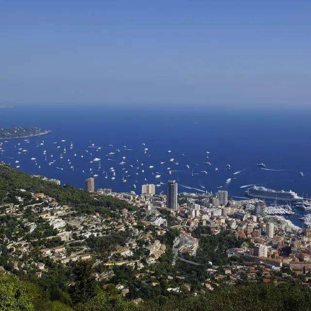
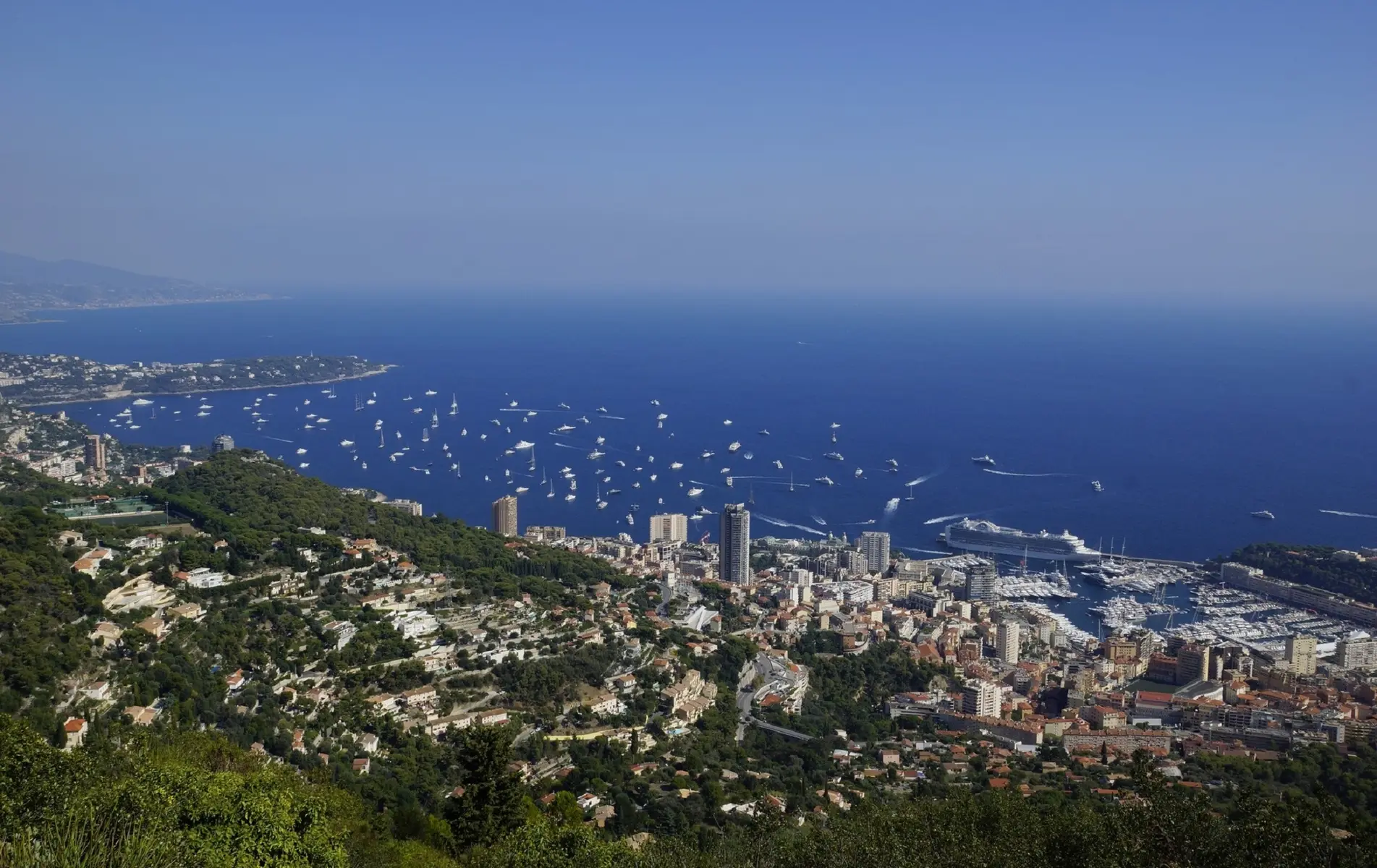
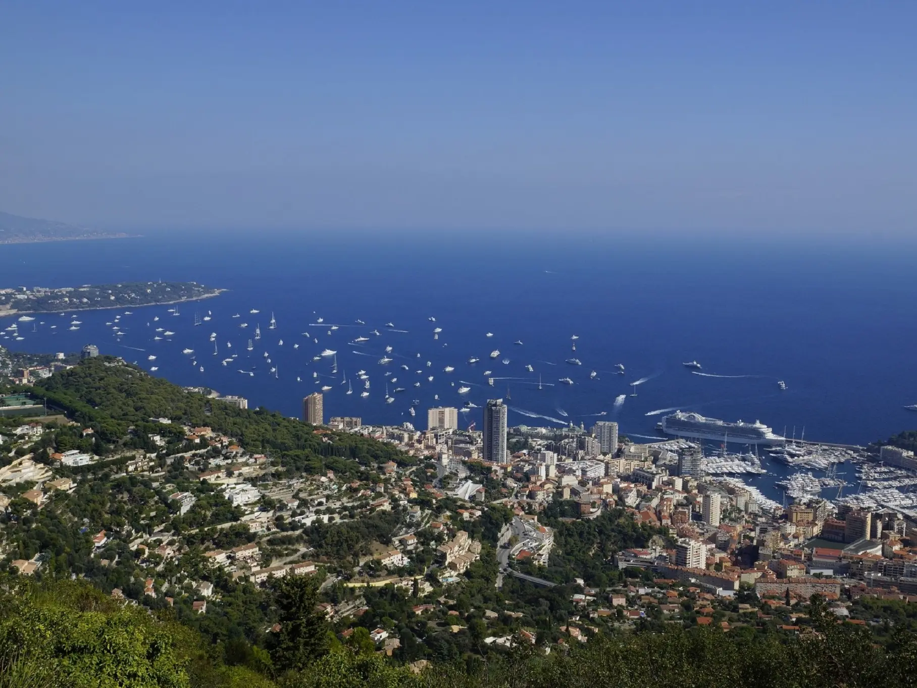
The Via Alpina is an exceptional hiking trail as it connects Trieste to Monaco, and offers five routes through eight Alpine countries. Throughout this hike you will have an incredible view of the Mediterranean and Monaco.
The starting point of this hike is the pine forest, when you arrive in front of it a wooden sign will show you the path. When you enter the pine forest, head towards the view over Monaco and Beausoleil, then go down the path on the hillside. The GR51B path joins the Chemin des Révoires. At the bottom you will have a beautiful view of Monaco. Continue downhill following the tarmac road, you will come to the cross road Chemin des Révoires, cross opposite where there is a dip, you will find the dirt track for walking. Continue downhill until you reach the path to La Turbie Supérieurs. After 50 metres turn left, continue downhill and you will be on the Moyenne Corniche. Cross the road, take the stairs opposite, then join the chemin de La Turbie, go down to the boulevard des Moneghetti by the stairs. At the place des Moneghetti, take the avenue d'Alsace which leads you to the Monaco train station.