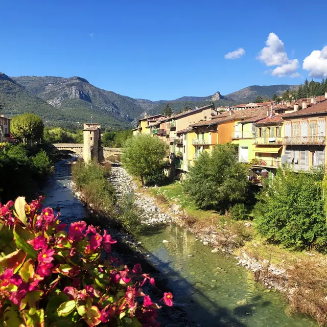
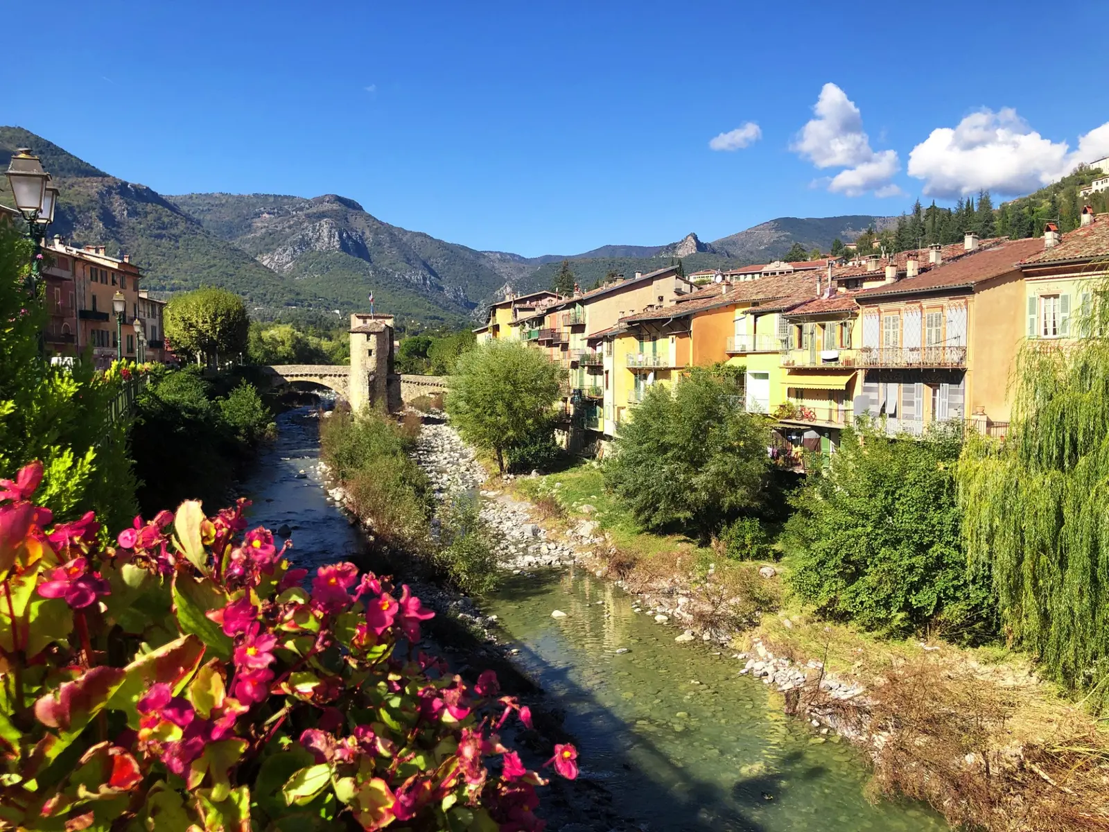
This trail above the Bévéra river is a former mule track, link between France and Italy.
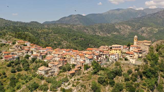
Take the D 6204, direction Breil/Tende. At about 1 km from Sospel ( B.101) take the trail on the right and follow the red and white markings (GR 510 ) until finding a little secondary road leading to the Pont de Caï ( B.89) Cross under the railway, the GR sinks into a vale above the Bévéra. This trail, more or less flat, presents some vertiginous sections and leads to the road close to the italian border. At the end of the trail, take the road on the right of the B.442 in order to enjoy the view over Olivetta village. Take the same way to come back.