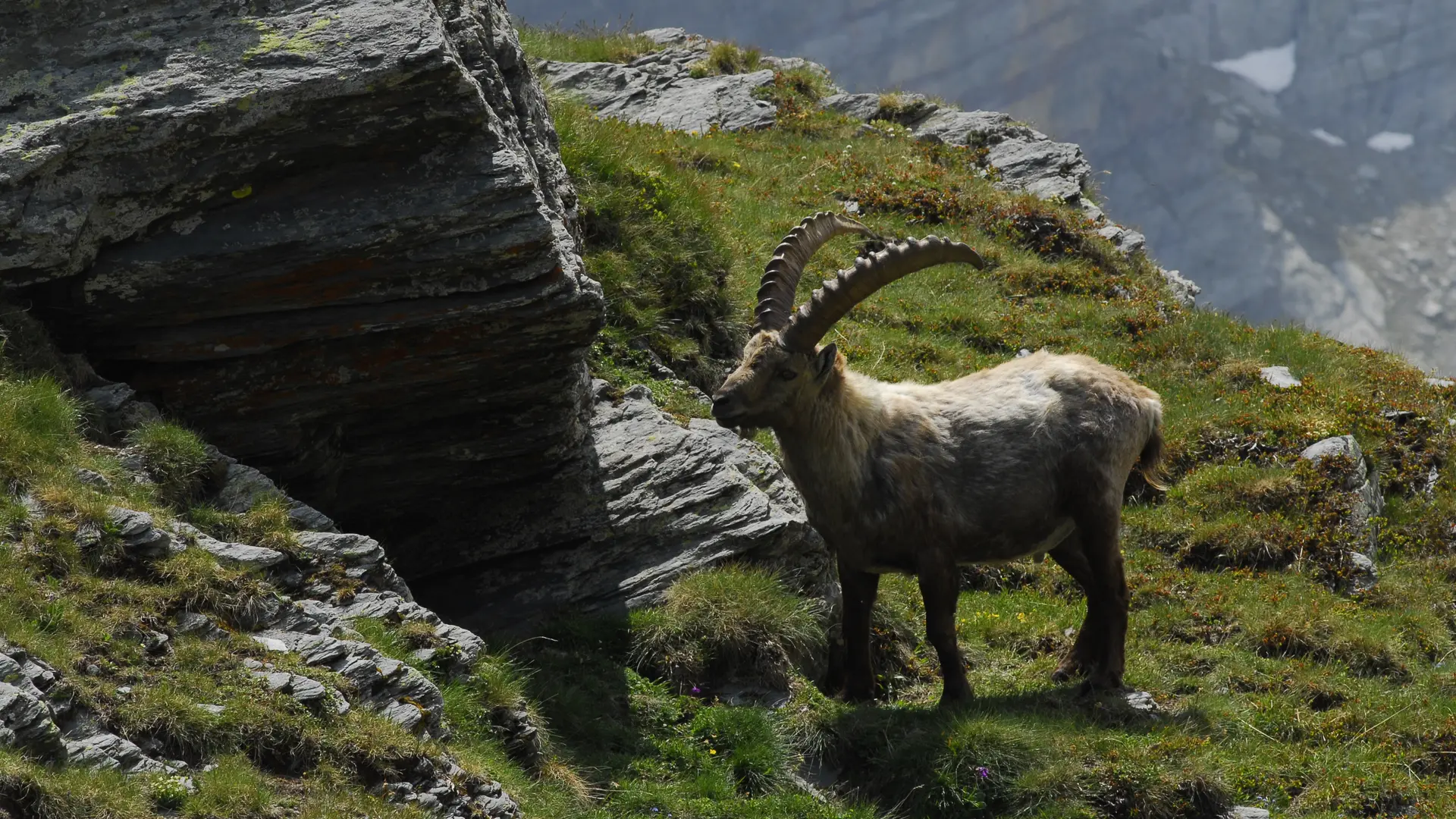
Discover the rock engravings of Mont Bégo on a 2-day tour. Between history and breathtaking panoramas, explore the Fontanalba and Merveilles valleys, in the heart of a protected archaeological zone.
Stage 1: Lac des Mesches - Refuge de Fontanalbe
Ascent: + 1,180 m / - 560 m
Distance: 12 km
Duration: 6 h 30
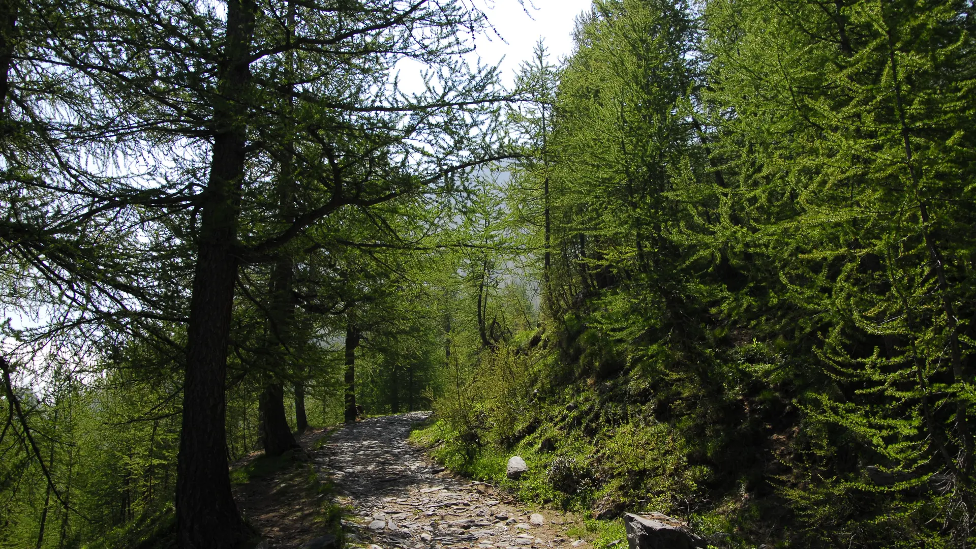
From the Lac des Mesches parking lot (marker 82), take the path up into the mélézin until you reach marker 86 and the Neige et merveilles gite.
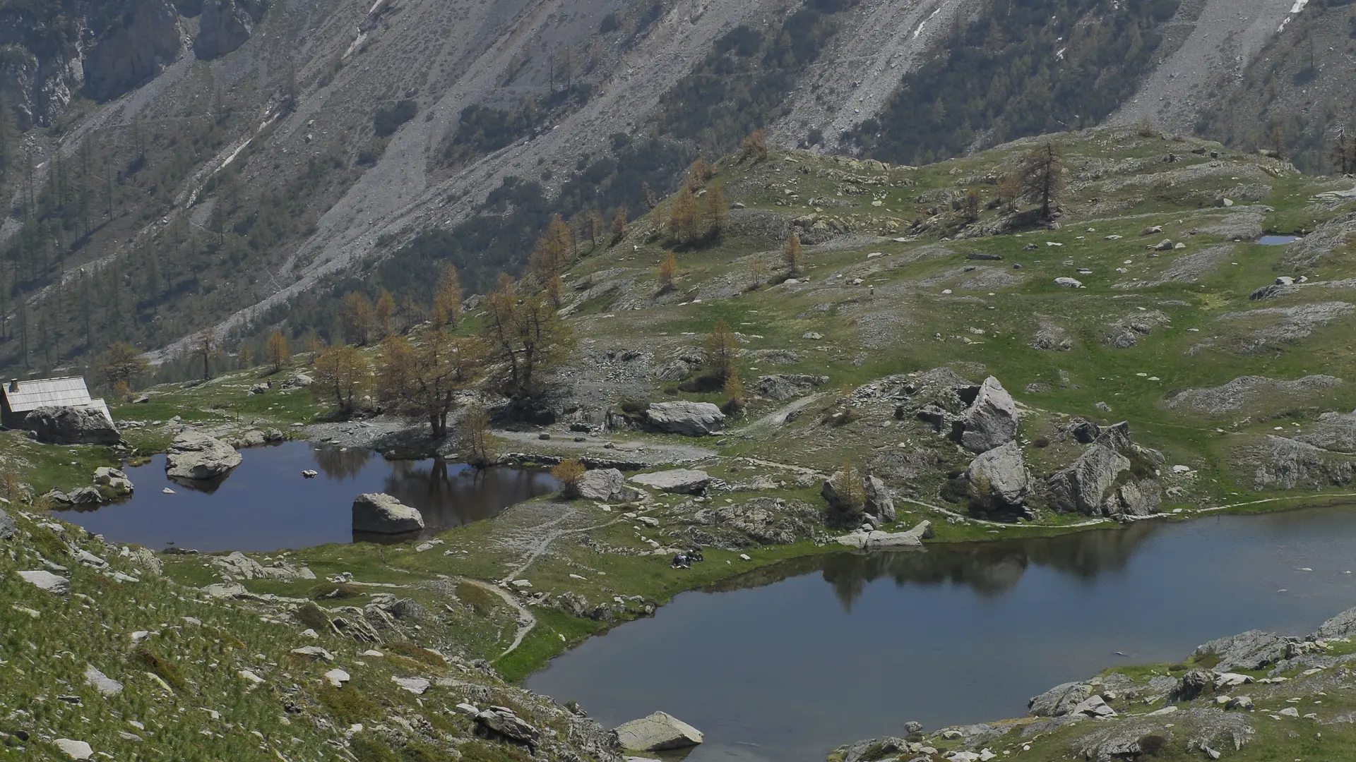
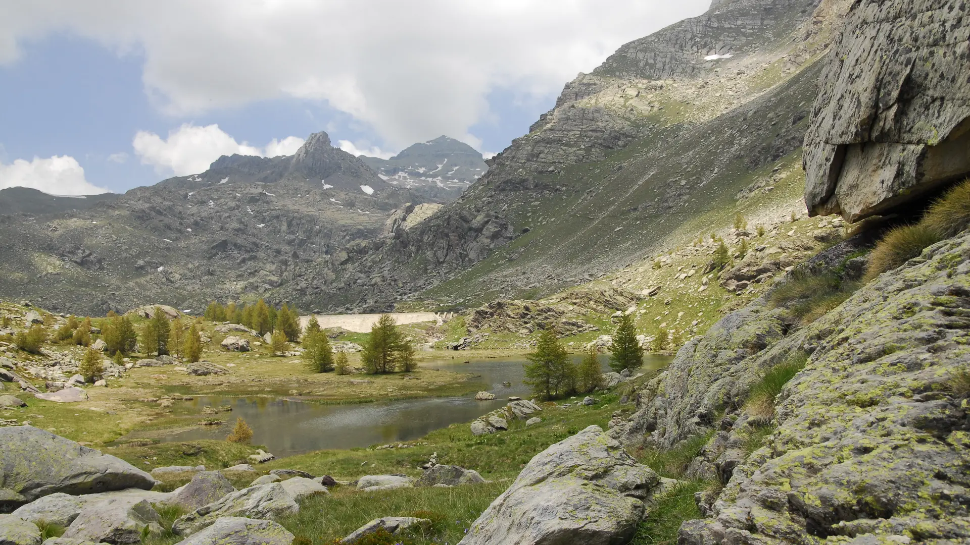
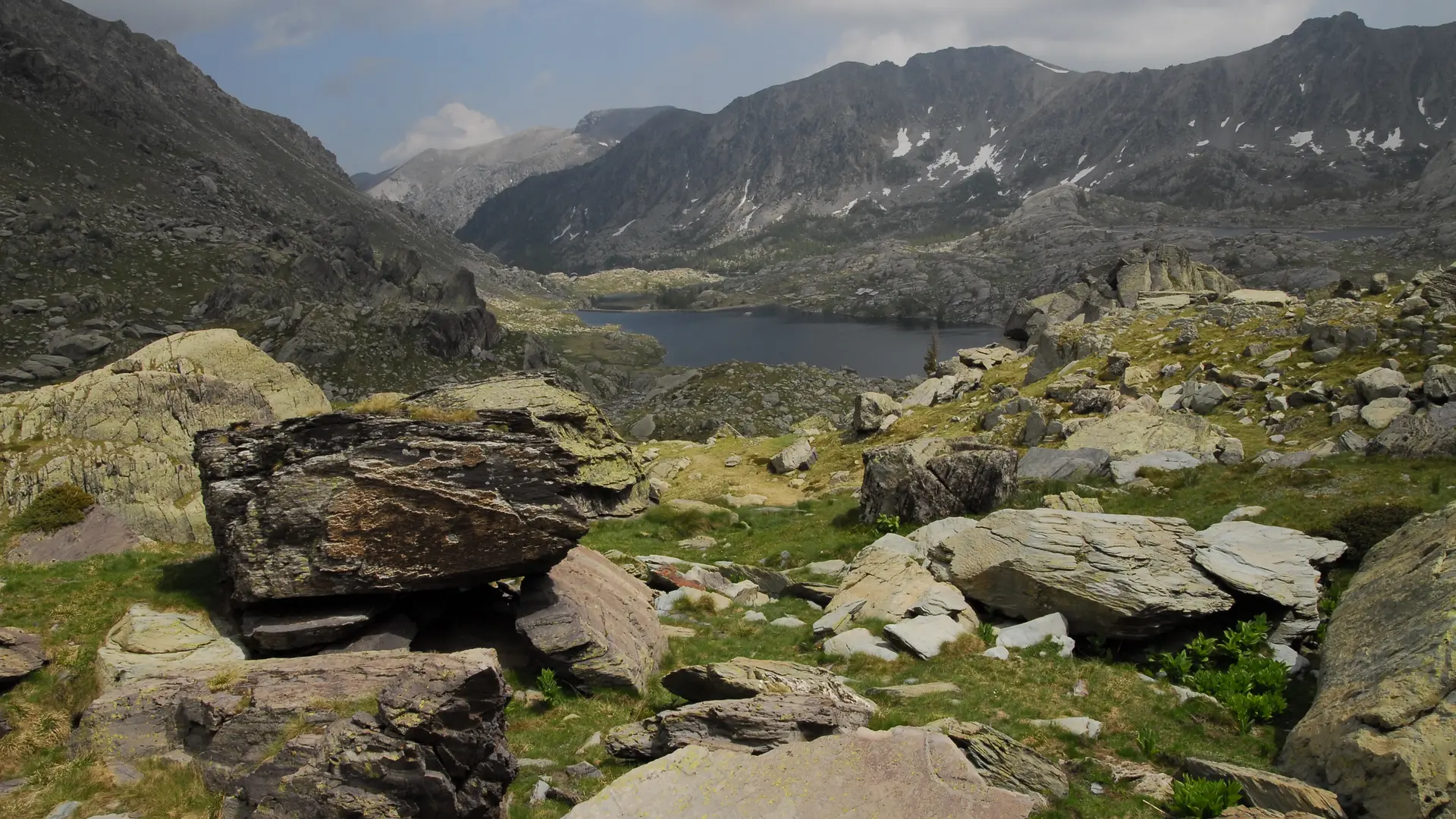
Continue left along the carriageable track along the Vallon de la Minière, passing above the lake of the same name (b. 86 and 87).
Continue on the track as far as Gias Vioré (b.88); descend slightly (b.88b) then climb up the Vallon de la Minière on the path alongside the torrent, below the track, as far as marker 89b.
Cross the torrent and descend to the left bank (b.383); fork left (north-west) to Gias Valauretta (b.384) and exit at Baisse de Valauretta (b.385).
Descend north to marker 386, then turn right to the Fontanalba military track (b.387).
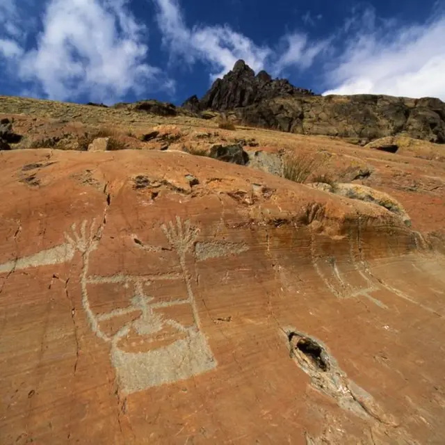
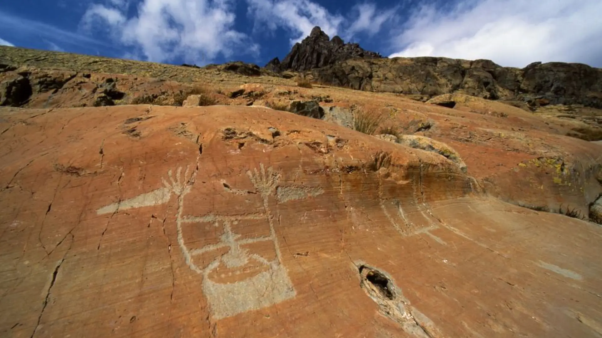
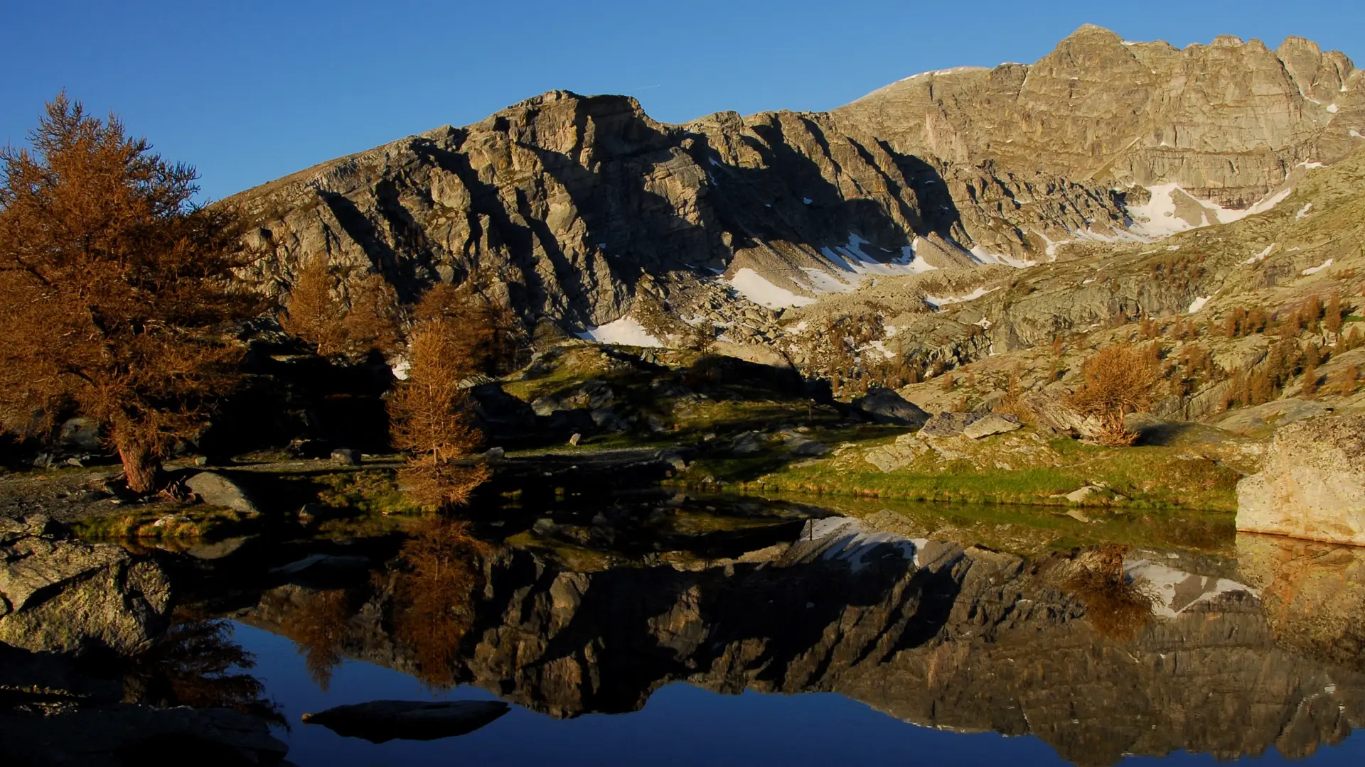
Turn left (b.388) to climb up to the building (2,218 m); you can visit the engraving site before returning via Lac Vert de Fontanalba to the track (b.388), then back to the building.
Turn right onto the new path leading to the Fontanalbe refuge (b.389).
Stage 2: Refuge de Fontanalbe - Refuge des Merveilles - Lac des Mesches
Ascent: + 980 m / - 1 610 m
Distance: 21 km
Duration: 7 h 30
From the Refuge de Fontanalbe (b.389), follow the same route as the previous day, passing beacons 388, 387 and 386.
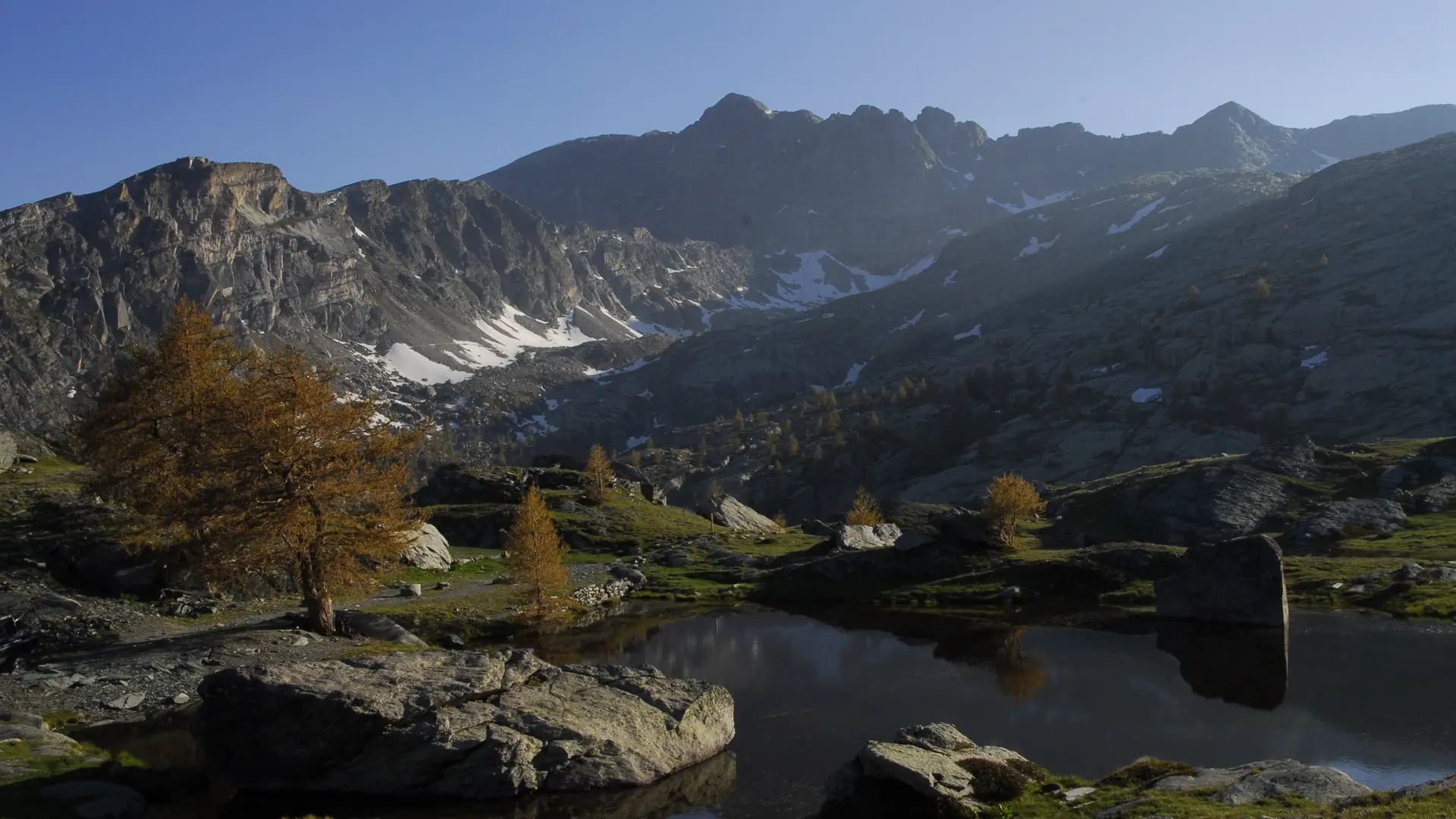
Continue towards the Fontanalba drop via an ascending traverse and a few switchbacks (b.396) after a characteristic natural depression.
Cross to the north-west to the Baisse de Fontanalba (2,568 m - b.397).
Descend to Lac du Basto (b.96), then turn left to join the GR®GTM (b.95) and left to Baisse de Valmaque (2,552 m - b.94).
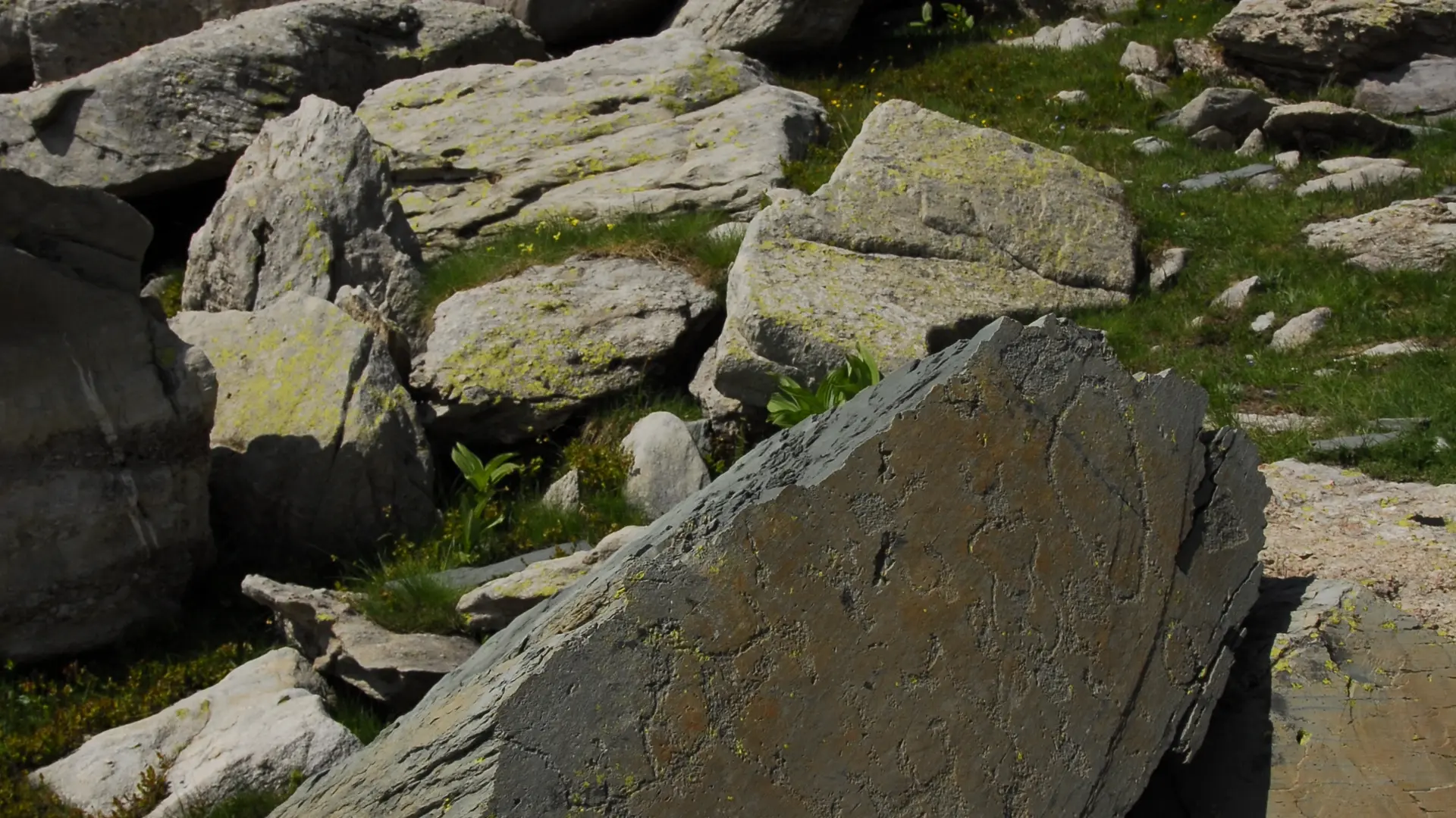
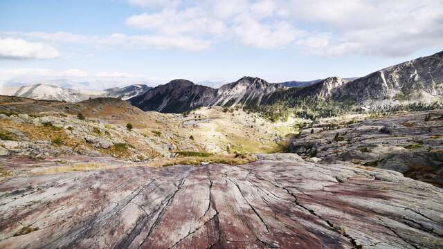
Wind down and follow (south) the narrow Vallée des Merveilles and its famous engravings.
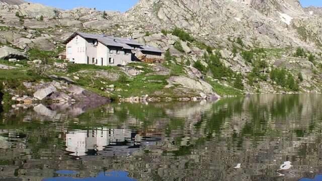
After the Roche de l'Eclat, pass marker 93 and reach the CAF des Merveilles refuge (b.92).
Then descend (east) on the Merveilles trail to marker 90.
Turn left to take the shortcut to the vallon de la Minière (b.89), then left again (89a) to join the vallon (89b).
Continue along the right bank to return to the starting point via the route taken at beacons 88b, 88, 86 and 82.
The second stage can be broken down into 2 days, with an overnight stay at the Merveilles refuge. Remember to book in advance.
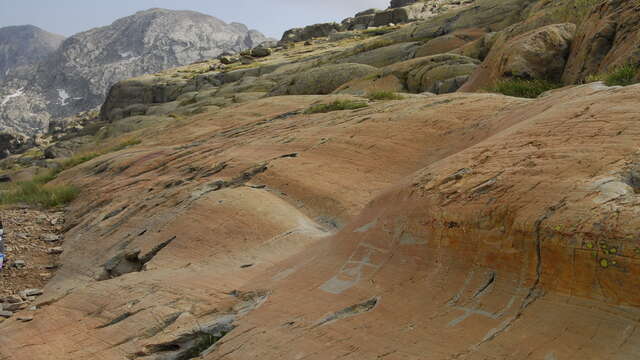
In the archaeological zone, it's important to stay on the trail to preserve the rock engravings. From June to September, off-trail guided tours are organized for the Fontanalbe and Les Merveilles valleys. For bookings: https://www.vallee-merveilles.com/achetez-vos-billets/
Legal informations
Legal informations
SIRET number : 18060005800010
Services
Accommodation
Restaurant
All year round daily.
Access to the rock engraving site is allowed without a guide by staying on the marked trails.
Provide special equipment (snowshoes or touring skis) and find out about the risks of avalanches during the winter season.