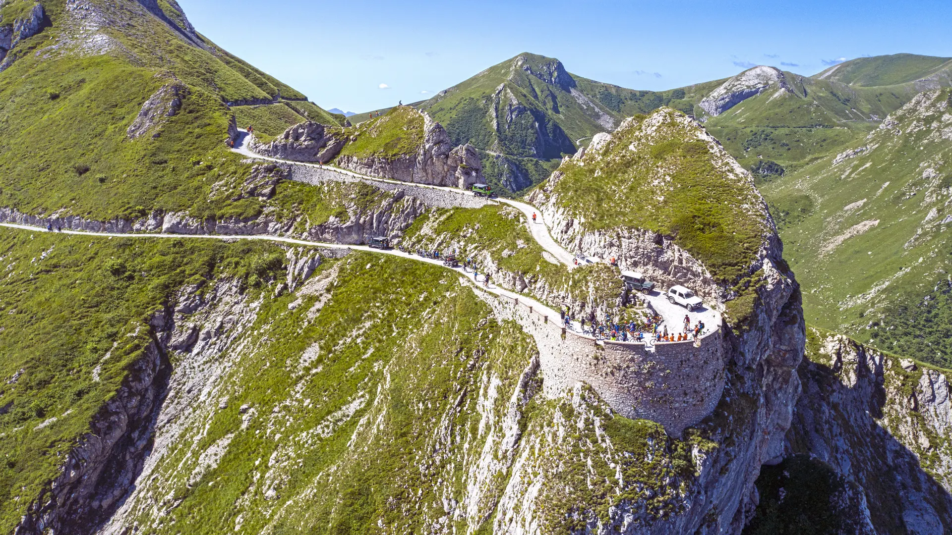
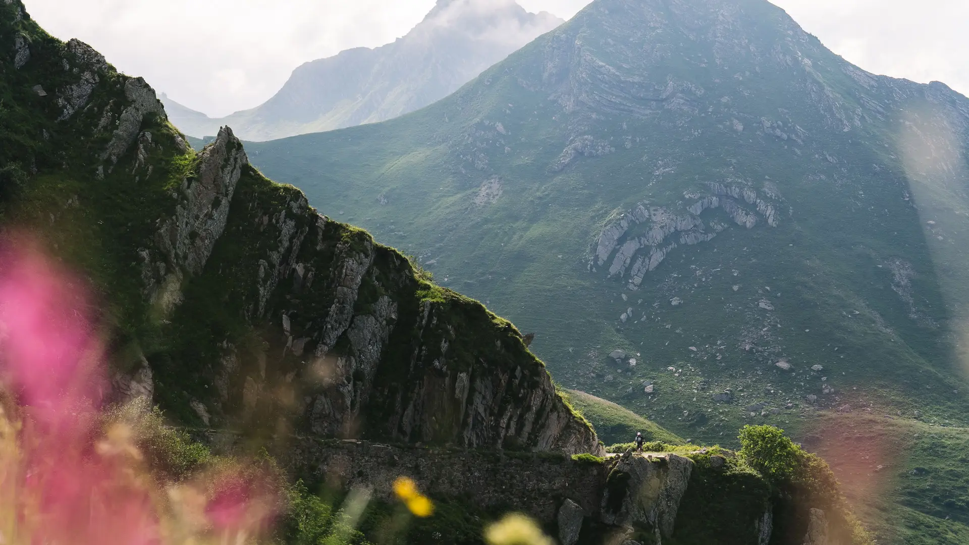
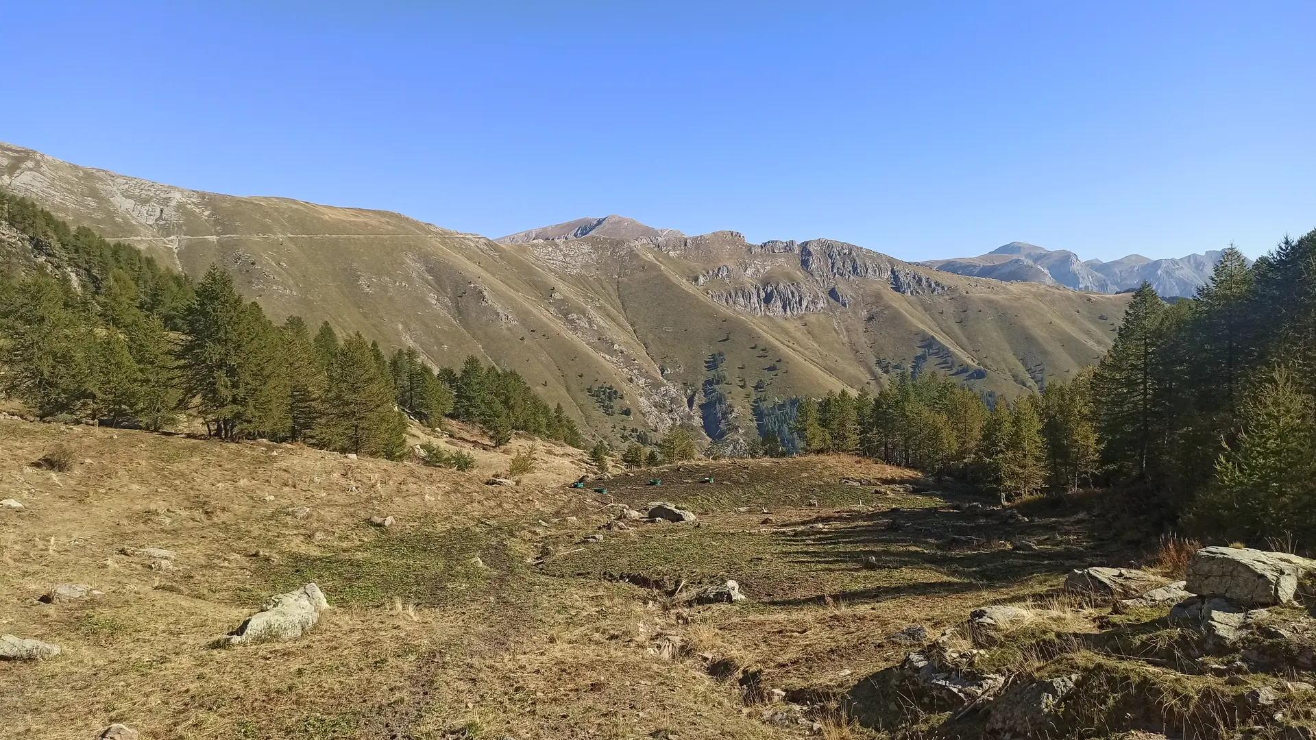
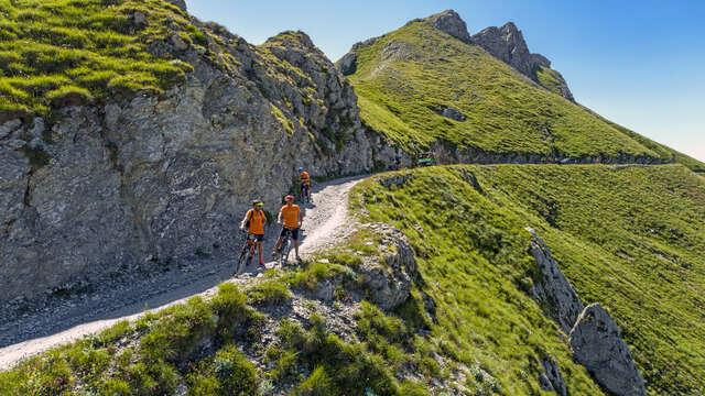
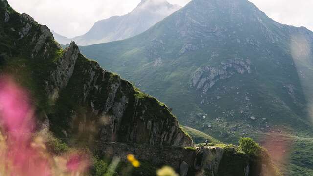
See photos (6)

MTB(AE) Intégrale Haute Route du Sel Tende - La Brigue

Sport, Cycling sports, Mountain biking itinerary, Enduro itinerary, Electric mountain bike route in Tende
70.5 km
  • We recommend this 2-day itinerary with a stopover at the Don Barbera refuge.

  • From the hamlet of Casterino, continue on the main road through the hamlet. After 2km, start on the track leading to the Peyrafique drop. At the top of the drop, continue for 10km along the ridge to reach the Col de Tende.
    After passing Fort Central, continue eastwards for 3km to reach the start of the paying section of the Haute Route du Sel.
    Continue eastwards for 10km, along a spectacular route between Italy and France, to reach the Don Barbera refuge. Stop off at the refuge to...
    From the hamlet of Casterino, continue on the main road through the hamlet. After 2km, start on the track leading to the Peyrafique drop. At the top of the drop, continue for 10km along the ridge to reach the Col de Tende.
    After passing Fort Central, continue eastwards for 3km to reach the start of the paying section of the Haute Route du Sel.
    Continue eastwards for 10km, along a spectacular route between Italy and France, to reach the Don Barbera refuge. Stop off at the refuge to recharge your batteries before continuing your itinerary.
    From the Don Barbera refuge, follow the Col des Seigneurs. After 3 km, you'll reach the Framagal hairpin with its breathtaking views over the Upega valley.
    The trail continues through the Ligurian Alps Regional Nature Park. A little further on, you'll come to a gatehouse with barrier marking the end of the chargeable section.
    Continue for several kilometers towards a sheepfold. At the intersection near the sheepfold, turn right. Continue straight on to the next intersection, then turn left to start the climb up Mount Saccarello. Following the trail, you'll eventually come to the statue of the Redeemer, once again offering a breathtaking panorama.
    Then return down the same track and continue to the Pas du Tanarello. Here begins a long descent to La Brigue, with a negative altitude difference of 1200m. Keep a firm grip on your handlebars, as the road can be rough in places. Just before you reach La Brigue, on your left is Notre-Dame des Fontaines (open daily from June to September, parish reception on Thursdays). Continue along the road for 3 km and you'll reach La Brigue, the final stop on your adventure.
  • Departure
    Tende
  • Plain text period
    From 15/06 to 15/10/2025.
  • Environment
    • Mountain view
    • Panoramic view
    • Forest location
    • Isolated
    • Mountain location
  • Spoken languages
    • Italian
    • French
  • Documentation
    GPX / KML files allow you to export the trail of your hike to your GPS (or other navigation tool)
Close