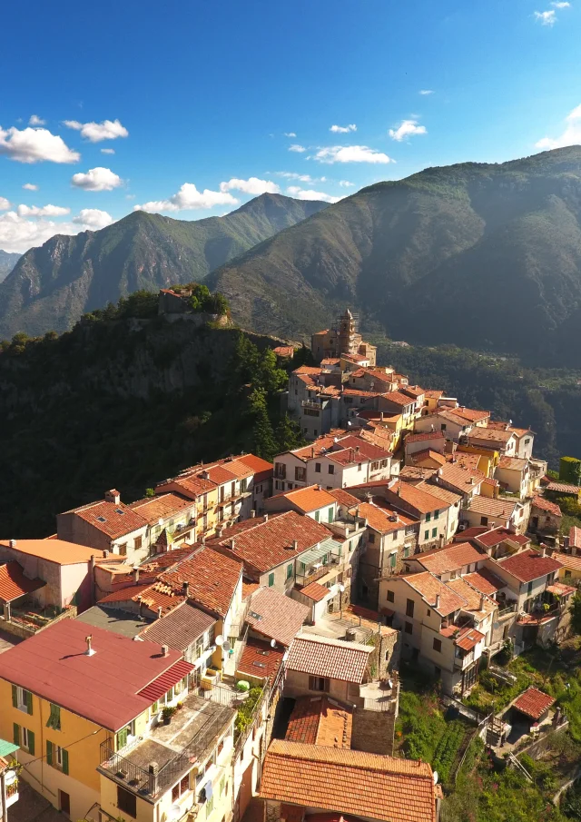
Cuneo Alps
Massif Du Marguareis Haute Route Du Sel Conitours Consorzio Operatori Turistici Provincia Di Cuneo1
|
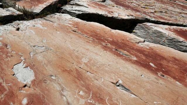
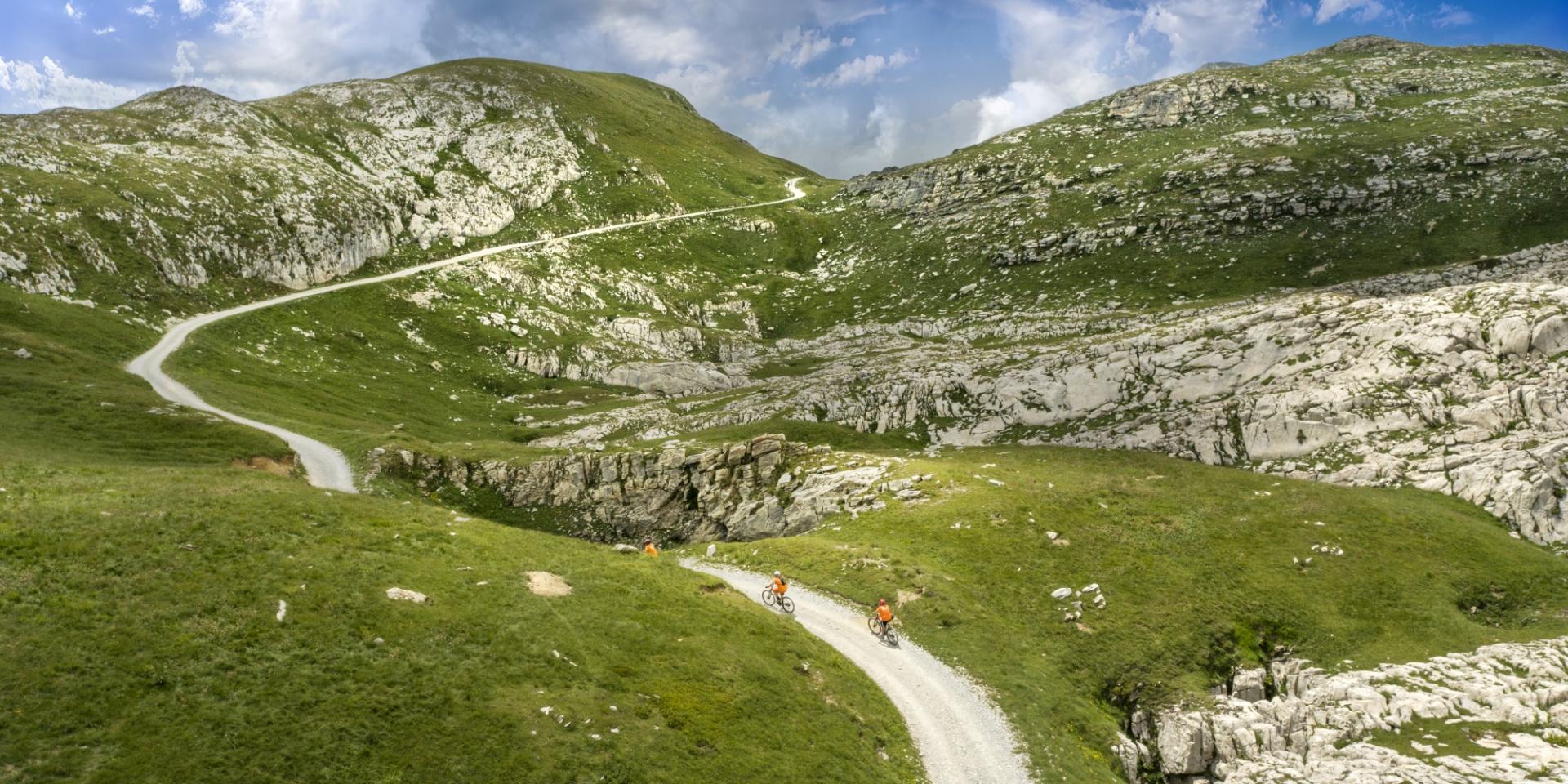
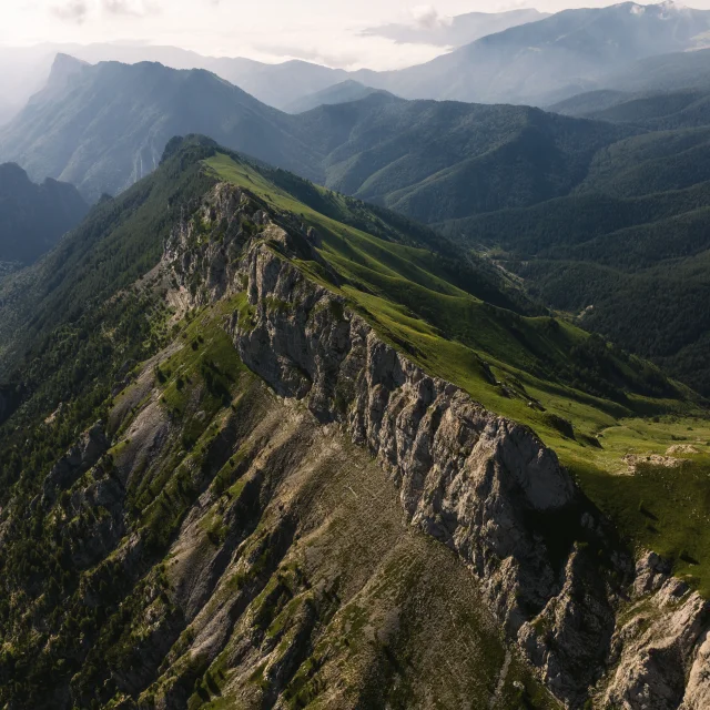
At an altitude of 2,260 metres, the highest point of the route takes us into the heart of the Marguareis massif. Here, the lunar landscape offers a sensational spectacle of limestone rock, the perfect setting for a hike to Pointe Marguareis at 2600 meters… The trail connects the hamlet of Castérino, the Col de Tende, the Massif du Marguareis, the Parc des Alpes Ligures, Mont Saccarello and Notre Dame des Fontaines in La Brigue.
One step in France, the next in Italy, this route takes you through authentic villages, rich in tradition, with an unforgettable historical, cultural and culinary heritage, all the while traversing a vast, unspoilt natural environment of astonishing biodiversity.
The trail can be explored by quad bike, motorcycle or 4×4. For added immersion, days are reserved for hikers and mountain bikers. Theimmensity of the scenery stretches as far as the eye can see, and you’ll have your head in the clouds. A splendid perched itinerary to discover an impressive experience.
Haute Route Du Sel Vallee De La Roya Pango Visual Copy
Motor vehicles, 4-wheelers and 2-wheelers are subject to traffic regulations from June to October.

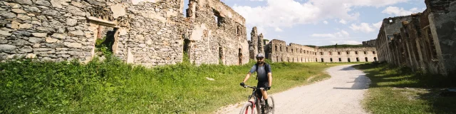
Casernements Du Fort Central Haute Route Du Sel Vallee De La Roya Pango Visual
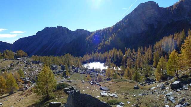
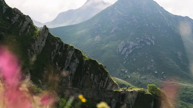
Leaving from Tende or La Brigue, let yourself be swept away by this most grandiose sensation in a high mountain setting. White rock contrasts with alpine grass and blue sky. This legendary route follows the crests of the French-Italian border. Both sides offer breathtaking views of the Italian coastline and Mont Bégo in the Vallée des Merveilles.
It is reserved for pedestrians and mountain bikers on Tuesdays and Thursdays.
Haute Route Du Sel Vallee De La Roya Pango Visual
Day 1: Casterino > Col de Tende > Refugio Don Barbeira: Strava track
Day 2: Refugio Don Barbeira > La Brigue : Strava trail
👉 O verall itinerary
Stage 1: Castérino – Col de Tende
Stage 2: Col de Tende – Col des Seigneurs
Stage 3: Col des Seigneurs – Le Rédempteur
Stage 4: Le Rédempteur – La Brigue
Stage 1: La Brigue – Le Rédempteur
Stage 2: Le Rédempteur – Col des Seigneurs
Stage 3: Col des Seigneurs – Col de Tende
Stage 4: Col de Tende – Castérino
Stage 5: Castérino – Tende
From mid-June to mid-October
Tuesday and Thursday the road is closed to motorized traffic.
A fee of €1.00 is charged for access by bicycles and electric bikes (of a symbolic nature and for registration purposes), which can be paid online.